


Huascaran Mountain 3d model terrain
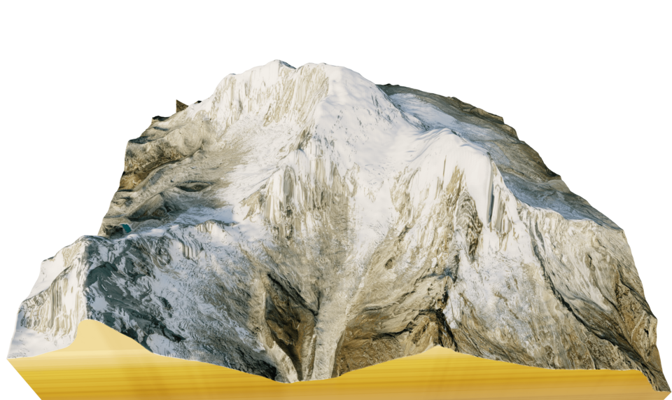
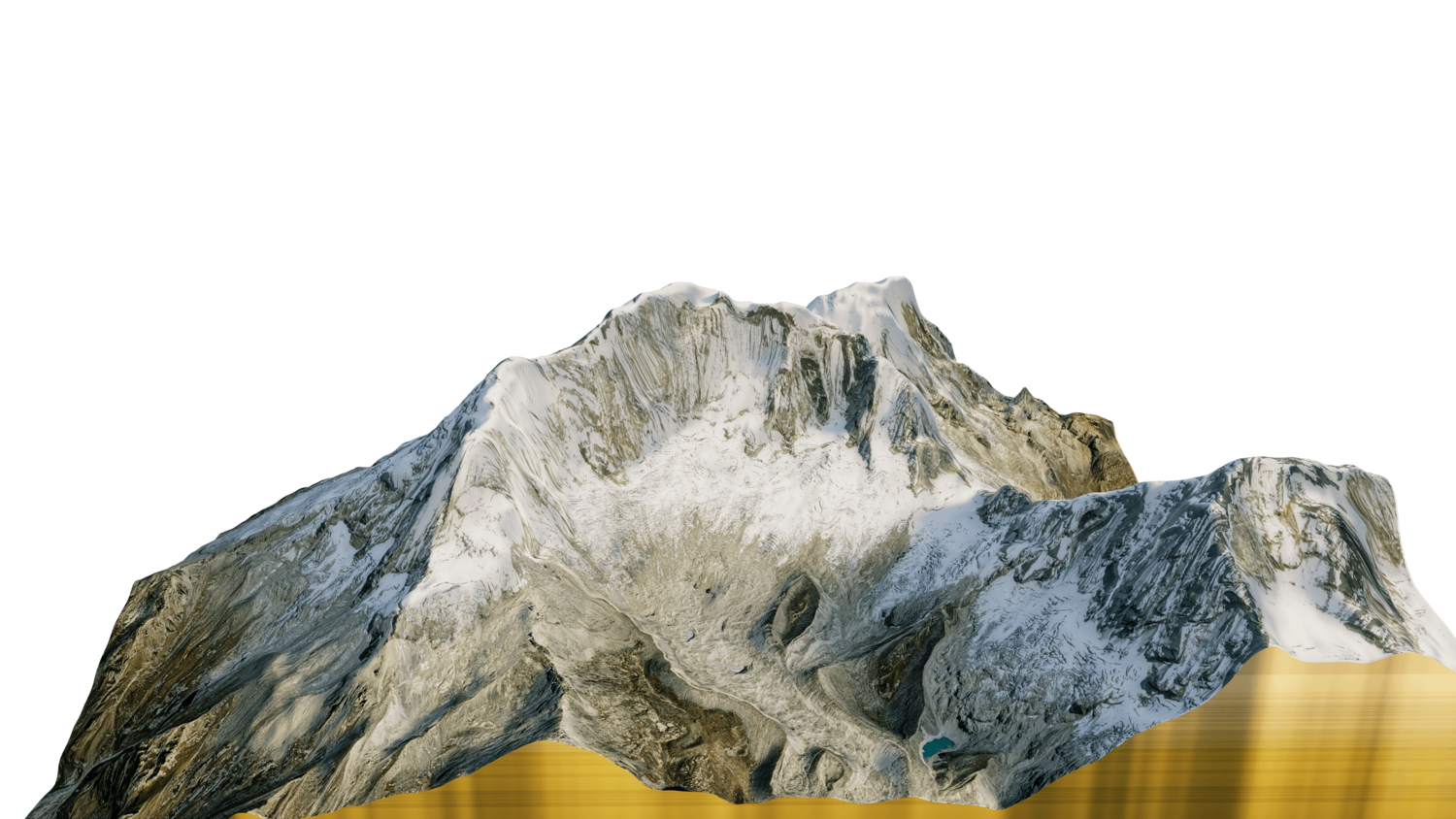
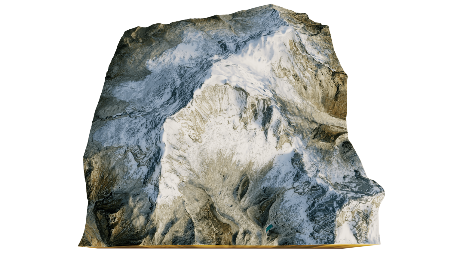
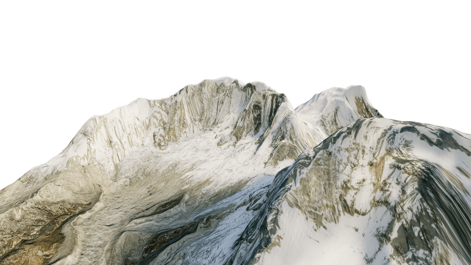
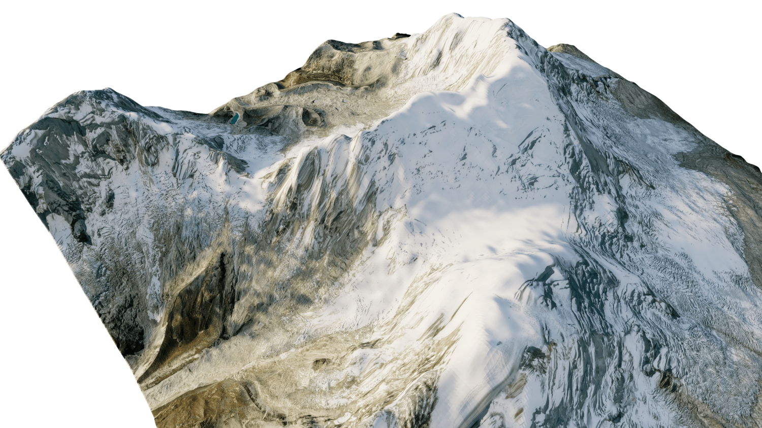
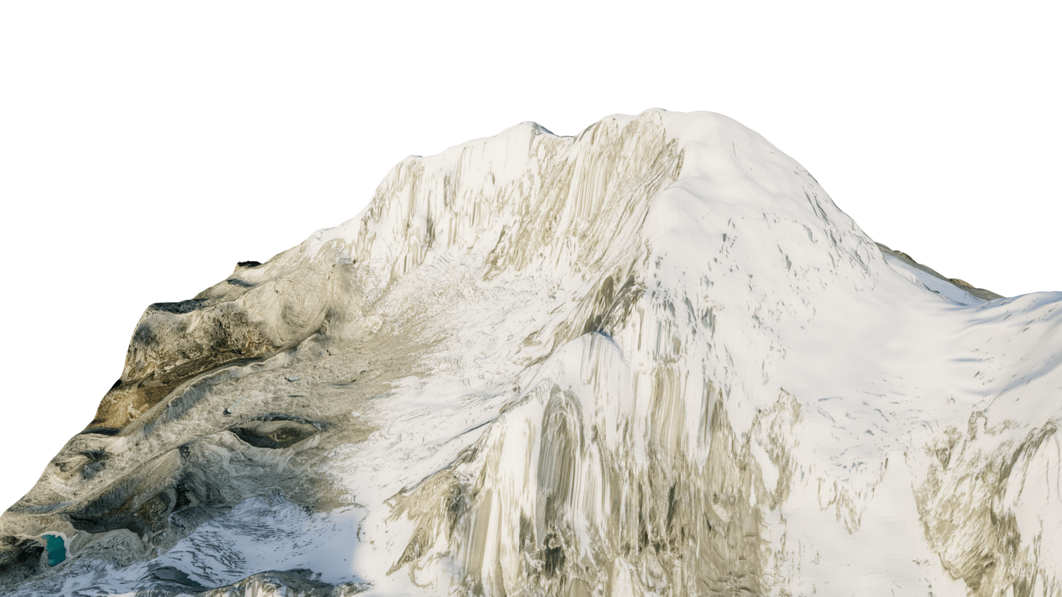
Huascaran Mountain 3d model terrain. 3d model landscape of the Huascaran Mountain.
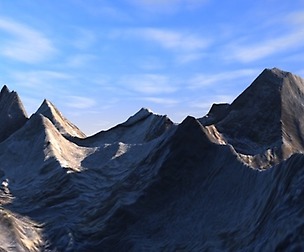
3d model landscape of Huascaran Mountain, Cordillera Blanca Mountain range, Yungay, Peru.
High Poly mesh High detailed model
with 8K textures - Diffuse map - AO map - Displacement map - Normal map - Roughness map
The Blend file do not require the displacement, but you can still use it if you want to create other model yourself
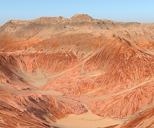
texture example from the Huascaran Mountain, Cordillera Blanca Mountain range, Yungay, Peru. Huascarán, Nevado Huascarán or Mataraju is a mountain in the Peruvian province of Yungay, situated in the Cordillera Blanca range of the western Andes. The southern summit of Huascarán, which reaches 6,768 metres, is the highest point in Peru, the northern Andes, and in all of the earth's Tropics.
Model Details
- FormatsOBJ, STL, FBX, BLEND
- Polygons157281
- Vertices158097
- animatedno
- materialsyes
- texturesyes
- riggedno
- uvsyes
- 3d print readyno
You will get 6 files
All files previously purchased will always be available for download in your Library