Environments
3D Scans
Blender
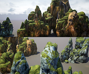
Nature
Render Scenes
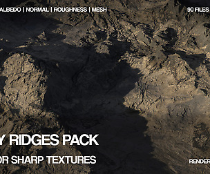
PBR
High Poly Models
Base Meshes
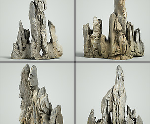
3D Print Models
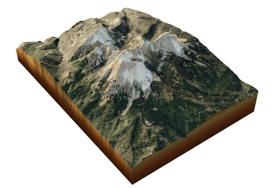
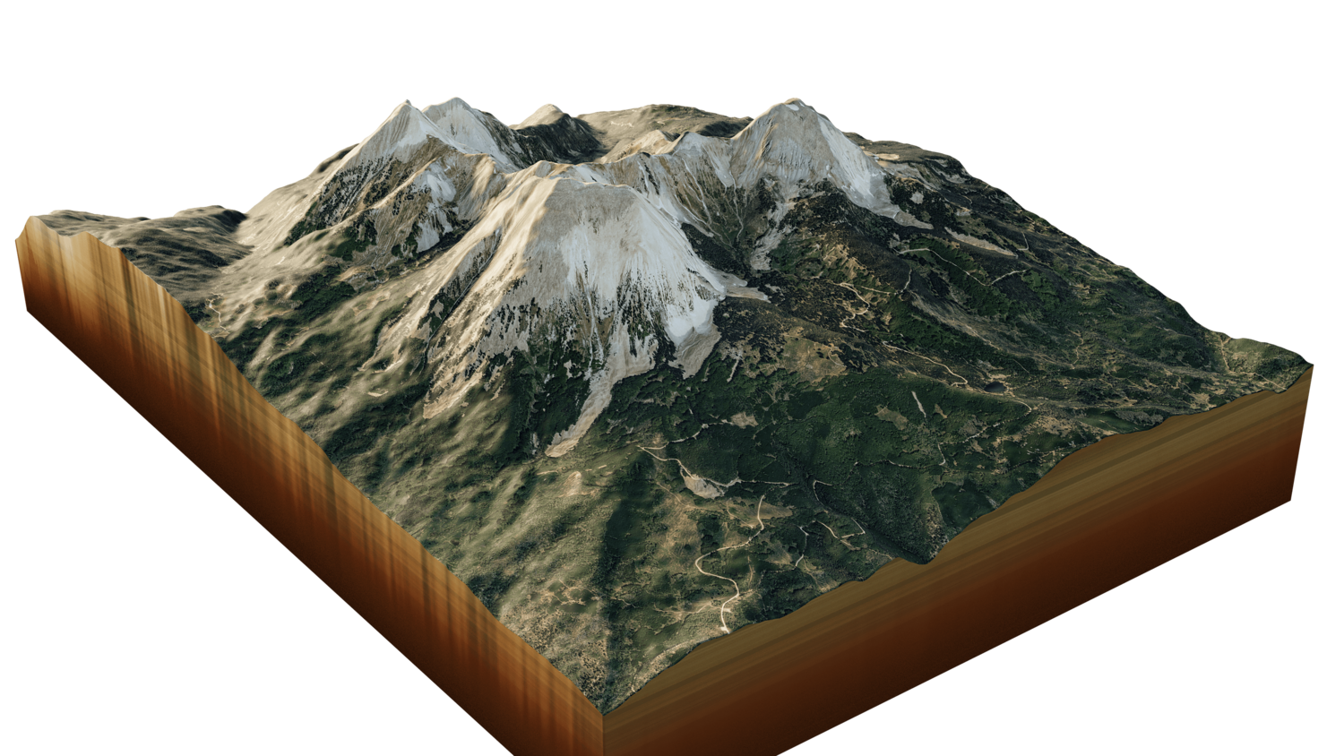
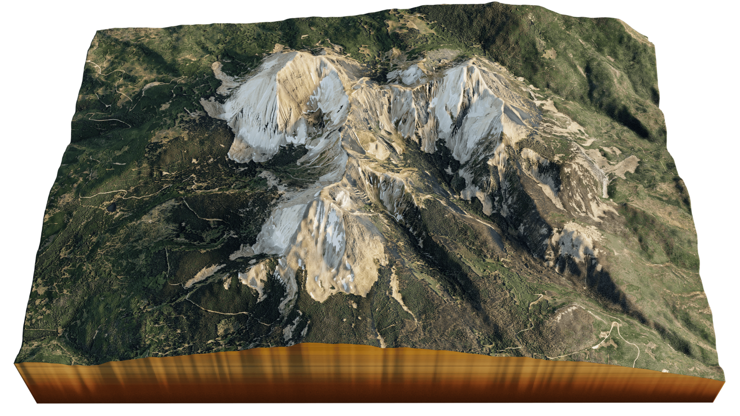
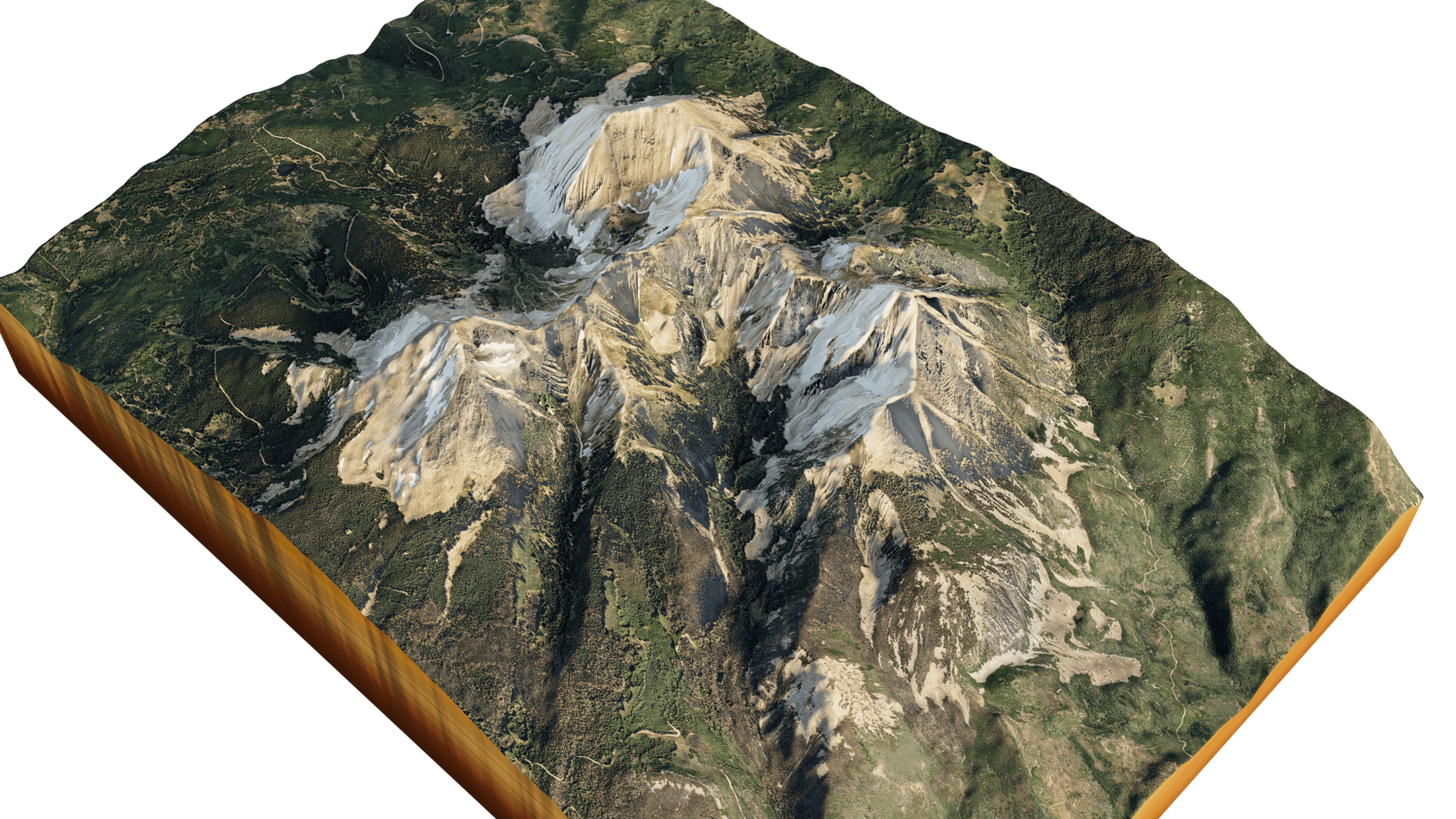

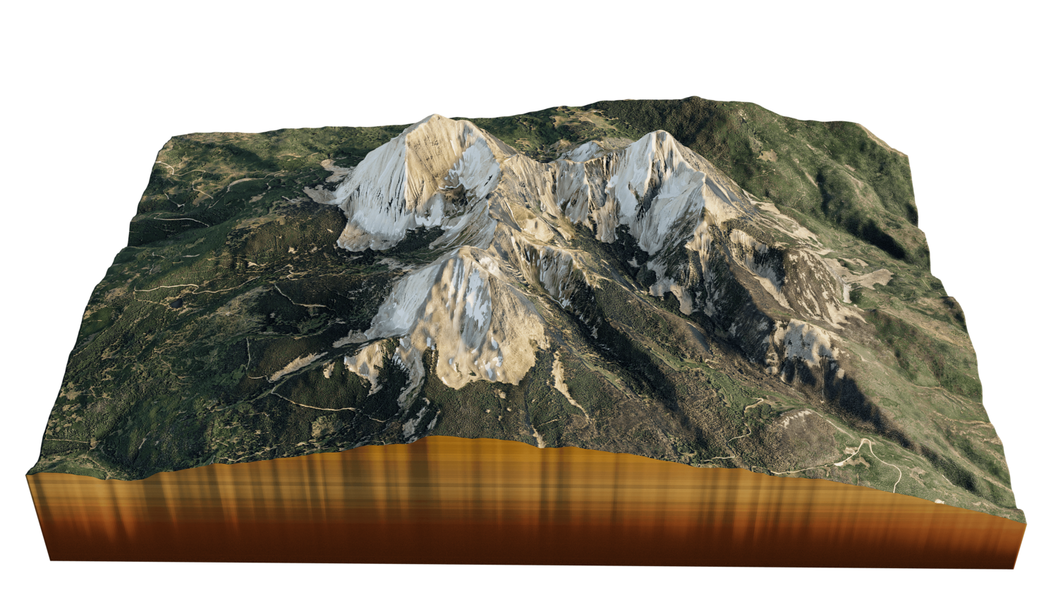


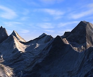
Mount Peale 3d model landscape
105 Views
Mount Peale 3d terrain. 3d model landscape of the Mount Peale
3d model landscape of Mount Peale, Utah, United States
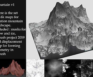
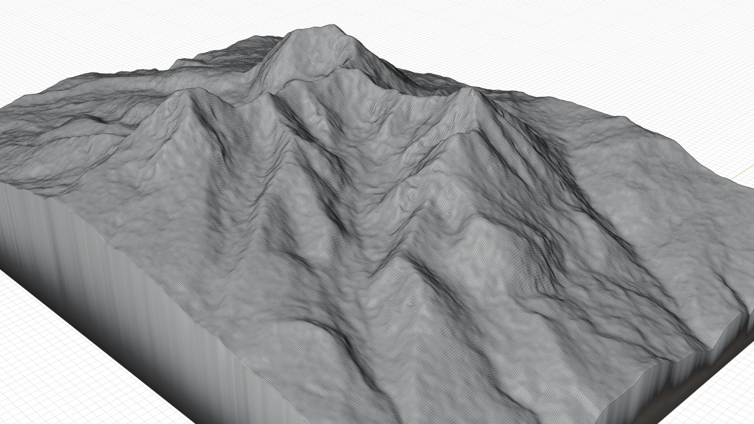
High Poly mesh High detailed model
with 10K textures - Diffuse map - AO map -Displacement map -Normal map -Roughness map
The Blend file do not require the displacement, but you can still use it if you want to create other island model yourself
texture example from the Mount Peale, Utah, United States. Mount Peale is the highest point in the La Sal Mountains of San Juan County, in the southeastern part of Utah, United States. It is also the highest point in Utah outside the Uinta Mountains. The peak height of Mount Peale is 3.879 m
Model Details
- FormatsFBX, OBJ, STL, BLEND
- Polygons264193
- Vertices265217
- animatedno
- materialsyes
- texturesyes
- riggedno
- uvsyes
- 3d print readyno
You will get 6 files
All files previously purchased will always be available for download in your Library